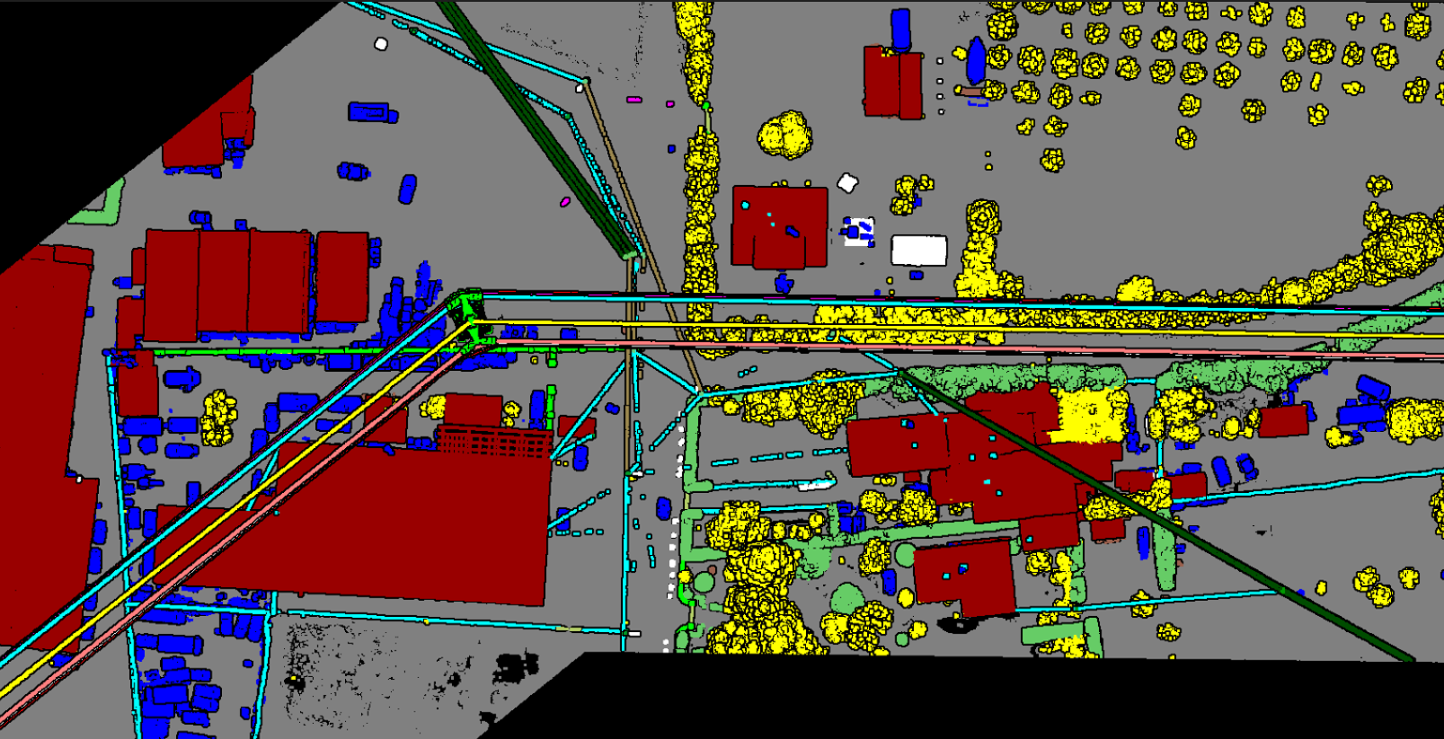
Our LiDAR Technology and Services offer cutting-edge solutions for capturing and analyzing spatial data using Light Detection and Ranging (LiDAR) technology. We provide comprehensive services that cover the entire LiDAR workflow, from data acquisition to processing and 3D modeling.
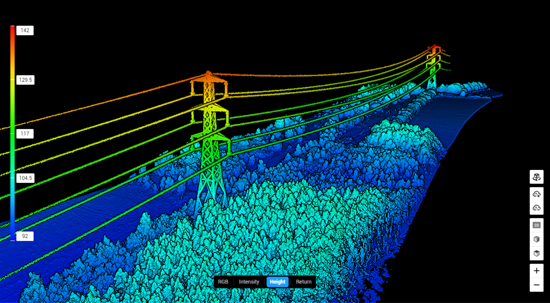
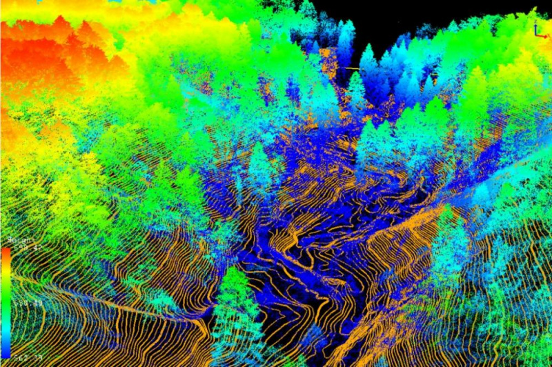
From flight planning and data acquisition to point cloud processing and 3D modeling, our integrated approach ensures you receive accurate, actionable geospatial data tailored to your project needs.