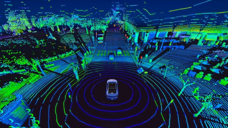
MLS Point Classification
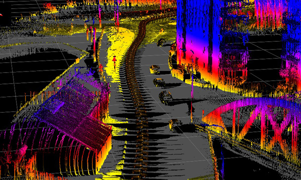
Our Mobile Laser Scanning (MLS) classification relies on extracting detrended geometric features to accurately label complex 3D urban scenes. We assign individual class labels to objects—such as road markings, poles, and street furniture—playing an essential role in the creation of detailed high-definition maps for autonomous navigation and smart cities.
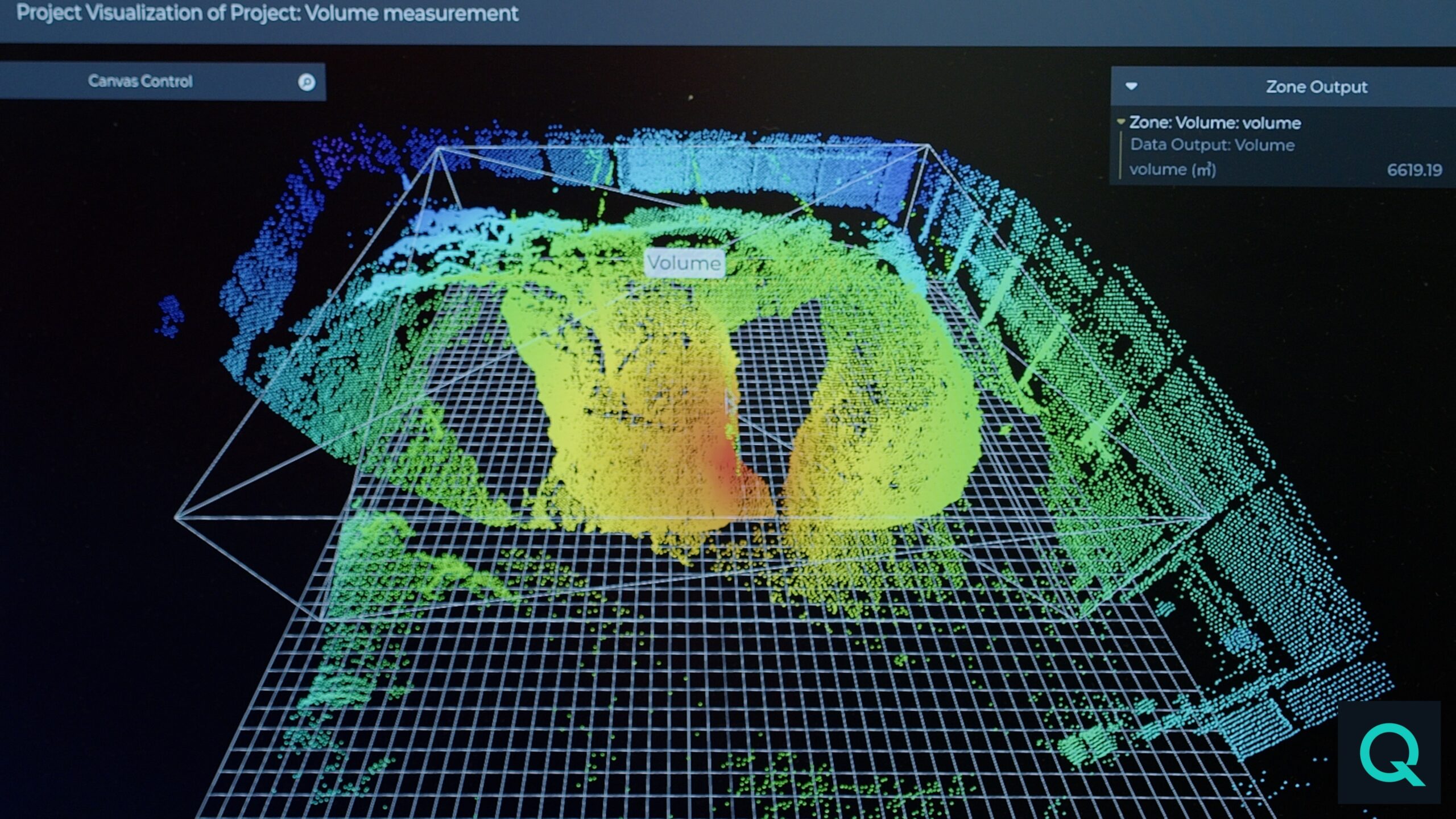
Expert Engineering & Support
Our team of photogrammetric professionals provides comprehensive engineering support for MLS projects. Leveraging years of GIS experience, we handle planimetric mapping and orthophoto production to meet a wide range of client requirements with ease.
GIS Expertise Planimetrics Urban Engineering Ortho Production